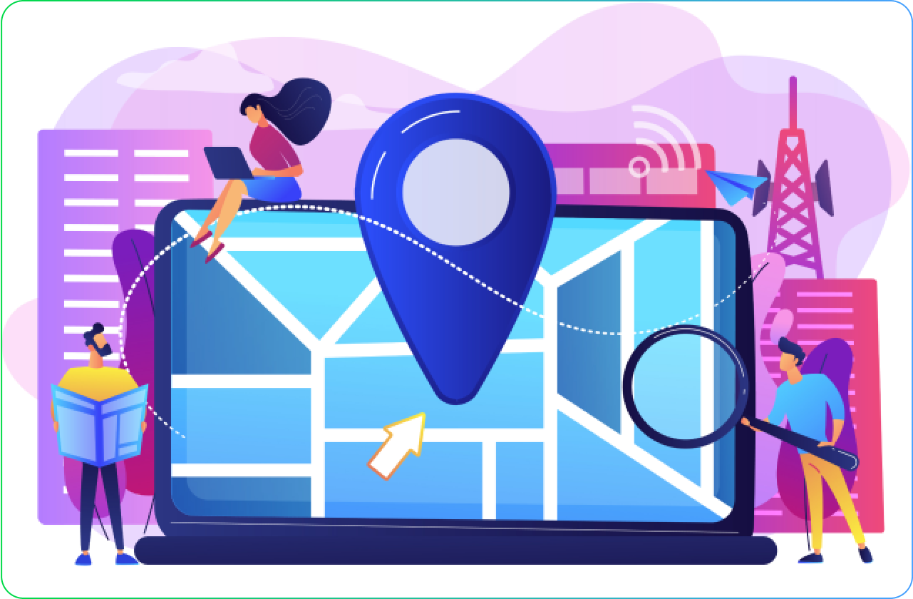
Geomarketing Software
The most comprehensive and user-friendly Geomarketing solution
Nomadia’s Sales & Marketing tools add the “Geo” to Business Intelligence. It helps to consolidate and analyze all the data from across a company’s data silos to gain deeper insights into how different business processes affect each other and to develop efficient sales and marketing strategies.


Based on user feedback from Gartner Peer Insights, Capterra and GetApp. Sourceforge Top Performer Winter 2023.
Benefits of using our Geomarketing Software
![]()
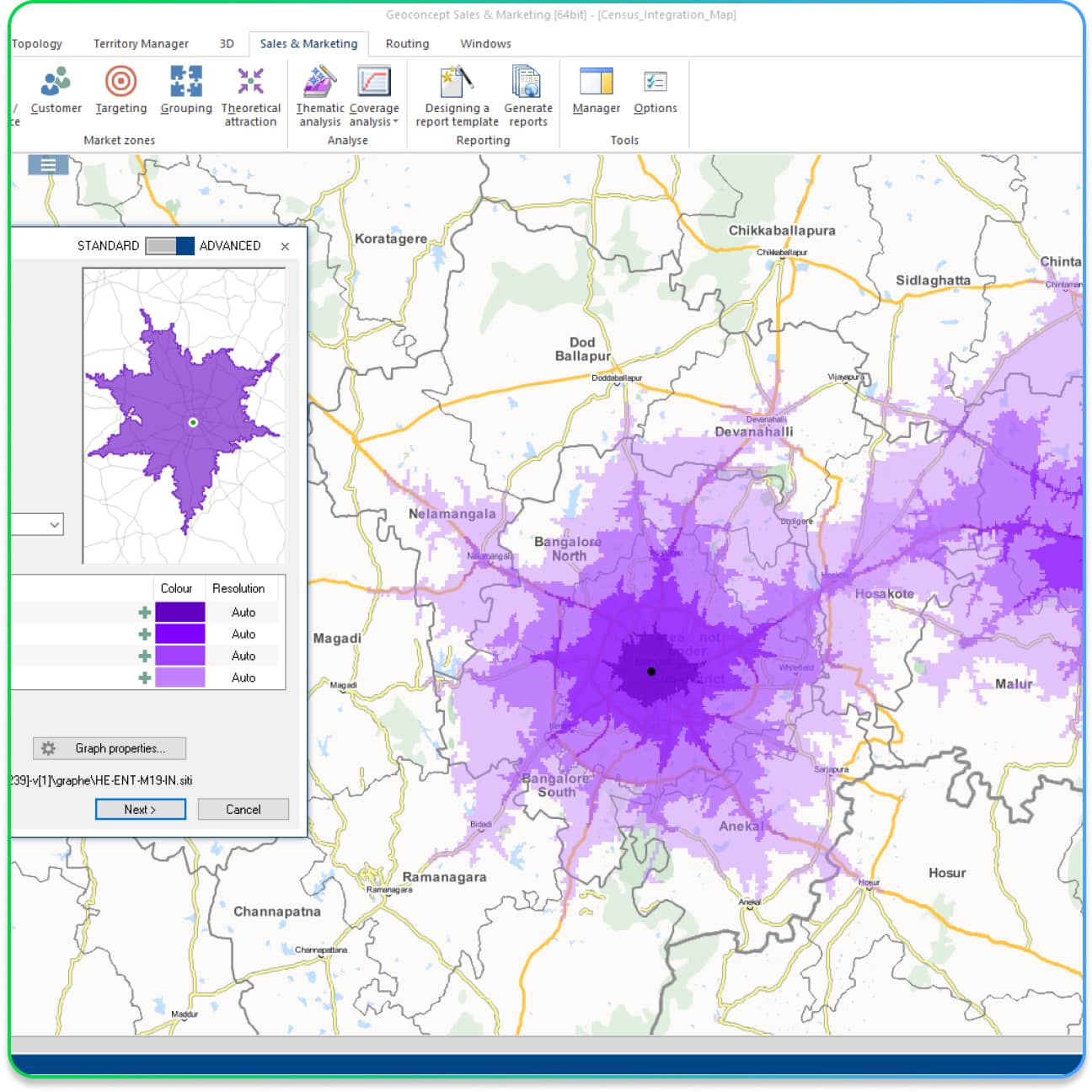
Optimised distribution networks
New site, geo-merchandising, optimal coverage
![]()
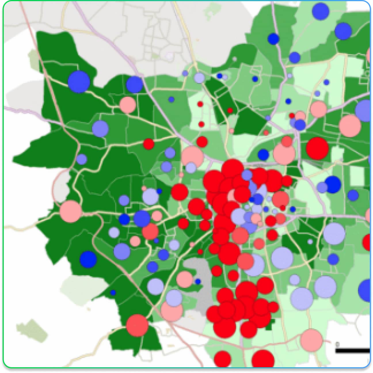
An excellent customer relationship
Targeted communication, relevant and profitable marketing actions
![]()
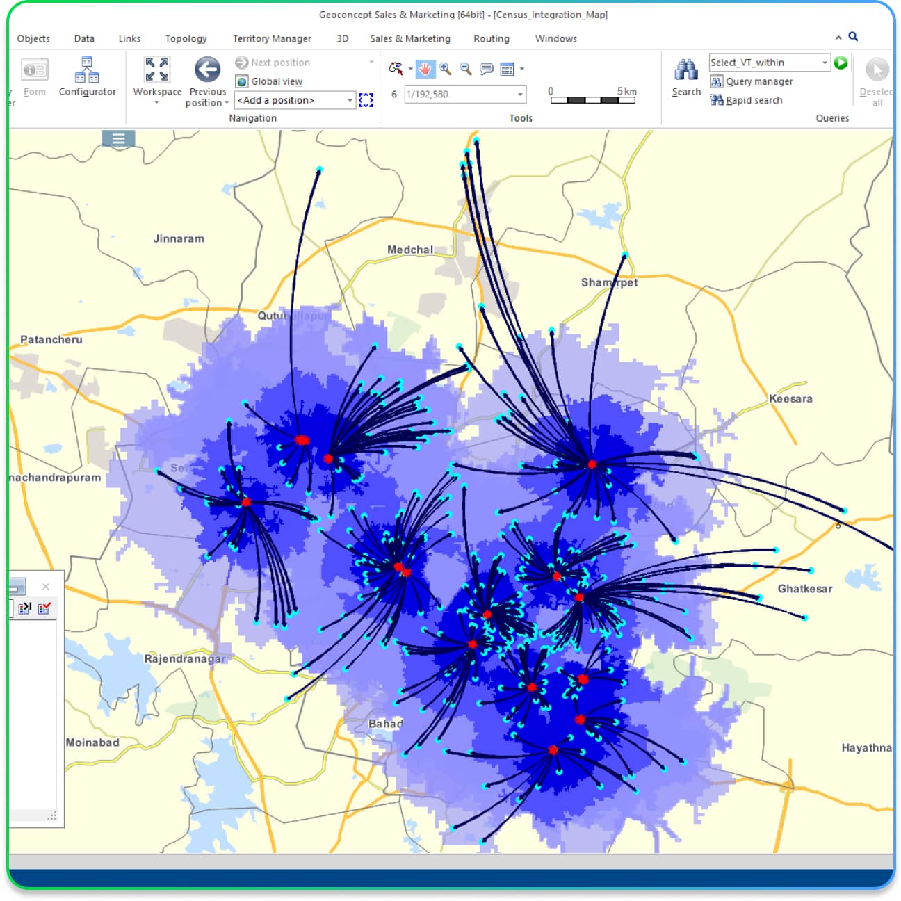
Balanced sales territories
Effective organization, team responsiveness, cost optimization
![]()
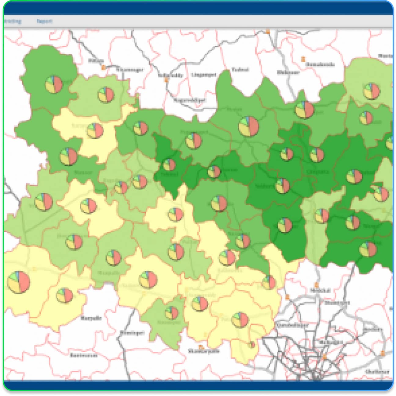
An efficient and profitable strategy
Management, geographical dashboards, ongoing and controlled dissemination
Key Features
Nomadia’s Geomarketing tool has a lot to offer!
Product FAQ's
Geomarketing Software is a powerful solution that leverages the geographical information in your business data helping you develop location-specific insights about your business.
It helps you consolidate data from disparate data silos within your organization into a single platform and analyze the same to gain deeper insights into your business processes.
By doing so, it assists in the development of efficient sales and marketing strategies, allowing you to make data-driven decisions.
Geomarketing Software offers features like new site selection, geo-merchandising, and optimal coverage analysis.
It helps you strategically plan and visualize your distribution network, ensuring that your resources are optimally allocated and reducing operational costs.
Geomarketing Software facilitates targeted communication and profitable marketing actions.
By analyzing customer data and geographical information, you can tailor your marketing efforts to specific regions, increasing the relevance and profitability of your campaigns.
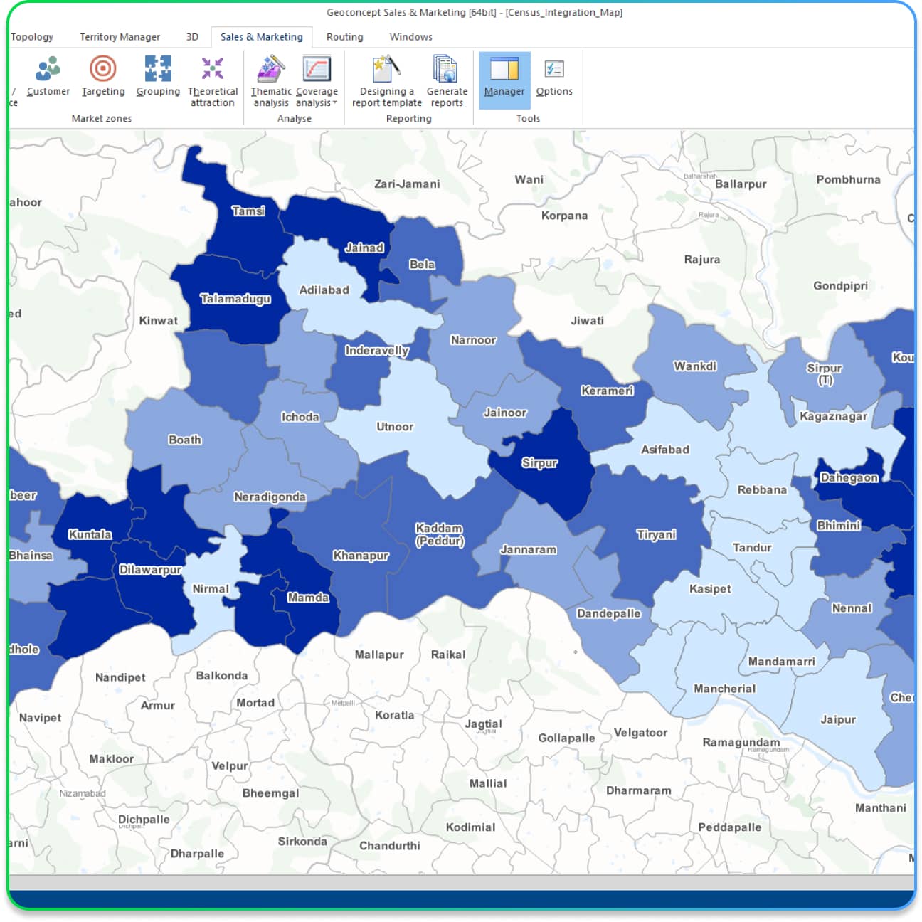
Yes, Geomarketing Software empowers you to create balanced sales territories. It provides tools to map your existing territories, analyze their efficiency, and optimize them.
This process reduces manual effort, enhances team responsiveness, and contributes to cost optimization.
Nomadia’s Geomarketing Software offers a range of features, including:
- The creation of balanced sales territories
- Catchment area analysis
- Distribution network optimization
- White space analysis identifying areas for business expansion
- Dashboard to view and analyze sales performance metrics
- Automated analytical reporting.
The software provides advanced visualization tools that allow you to analyze sales across different geographical regions.
You can compute and visualize Key sales Performance Indicators and identify trends, patterns, high-performance regions and factors affecting sales in these regions.
This information helps in making informed business decisions.
Geomarketing Software automates the process of generating analytical reports.
You can create reports with the click of a button, pulling in information from various data sources.
The reporting module displays statistical information in various formats, making it easier to visualize and understand your data.
Yes, CavinKare, one of our esteemed clients, has expressed their satisfaction with the product.
They found it useful for their business analysis needs and noted that it perfectly suited their requirements.
Request a personalized demonstration or a quote
Want to learn about our prices, receive a personalized demonstration of Territory Manager, or request a specific quote? Enter your contact information below, and our experts will get back to you as soon as possible.
Any further questions?
You’ll find the answers to our customers’ most frequently asked questions here.
Nomadia is the leading French publisher of SaaS Smart Mobility solutions, guiding more than 175,000 professionals in the field every day. Our solutions are easy to use and quick to roll out, and they guarantee a significant, immediate return on investment.
Combining the expertise of a software integrator / editor with that of a consulting firm, Nomadia’s teams provide you with customized support, from data consulting to the roll-out of mobile terminals. Moreover, our technical support is available 24 hours a day, seven days a week.
Nomadia solutions guide the digital transformation of all types of mobile professionals: traveling sales representatives, delivery drivers, technicians, auditors, healthcare personnel, diagnosticians, service providers, patrolmen, experts, and more.
From small- and medium-sized companies to large corporations, our solutions can be adapted to companies of any size and in any sector.
Each Nomadia solution consists of a ready-to-use SaaS which includes a back office and a mobile business application specially designed for field operations.
Our APIs and their many connectors allow you to integrate our technologies into third-party applications, whether those are custom solutions or market standards.
Our consultant teams can also help you set up a customized solution that is perfectly adapted to your business processes.
Yes! Contact our team to get an evaluation version of the solution of your choice.
As a company committed to the planet, Nomadia naturally asserts a strong CSR (Corporate Social Responsibility) approach. We integrate social, ecological and economic issues into everything we do.
By optimizing the mobility of mobile professionals, our solutions help improve our customers’ productivity, the well-being of their employees, and the impact of their businesses on the environment.
The Nomadia teams are available to answer all your questions:
- via our online form
- by phone at +91 4443156075